


India is closely monitoring China’s rapid construction of border villages near the Line of Actual Control (LAC) and the growing strategic vulnerability of the Siliguri Corridor, also known as the “Chicken’s Neck,” a senior Indian Army commander has said. Notably, most of China’s ‘Xiaokang’ villages along LAC lie in the contested areas.
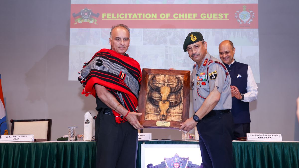
Speaking at a national security seminar, Deputy Chief of Army Staff (Strategy) Lieutenant General Rajiv Ghai highlighted emerging security challenges in the Northeast and along India’s northern and eastern borders, pointing to China’s expanding border infrastructure and evolving regional dynamics involving Bangladesh.
His remarks come amid continuing India-China border tensions following the 2020 Ladakh crisis and an increasingly complex security environment in South Asia.
China’s ‘well-off villages’ along the LAC
Lt Gen Ghai revealed that China has constructed hundreds of “Xiaokang” or “well-off villages” along its border regions, many of them facing India. According to the Army’s assessment, 628 Xiaokang villages have been built along China’s northern border areas. Around 72%, nearly 450 villages, are located opposite India’s northeastern states.
Nearly 90% of these settlements face Arunachal Pradesh, the northeastern state which remains a major point of dispute between the two countries, with China claiming the Indian state as part of “South Tibet”, according to a report in The Indian Express.
“These border settlements are definitely a challenge. They’re coming up very rapidly and many of these are in areas that are contested between the two countries,” Lt Gen Ghai said.
Why such establishments are a cause for concern is because these villages serve multiple strategic purposes for Beijing, including strengthening territorial claims, supporting military logistics and establishing permanent civilian presence in disputed areas.
Infrastructure race along the India-China border
The Army commander also noted that China has significantly accelerated infrastructure development near the LAC over the past two decades, building roads, railways, bridges and dams at what he described as a “phenomenal speed.” Such infrastructure allows Chinese forces to mobilise troops and equipment more rapidly along the frontier.
India has also been working to narrow the infrastructure gap, particularly in Arunachal Pradesh and other northeastern states, by accelerating strategic connectivity projects.
Another major concern highlighted by Lt Gen Ghai was the strategic vulnerability of the Siliguri Corridor, often referred to as the “Chicken’s Neck.” The corridor is a narrow 22-kilometre-wide strip of land in West Bengal, stretching roughly 60 kilometres, that connects India’s northeastern states with the rest of the country.
Its vulnerability arises from its proximity to multiple international borders – China (Tibet Autonomous Region), Bhutan, Nepal, Bangladesh. Just north of the corridor lies China’s Chumbi Valley, a wedge-shaped region of Tibet that sits between Sikkim and Bhutan.
The Chumbi Valley area is close to Doklam, where India and China faced a 73-day military standoff in 2017 after Chinese troops attempted to extend a road towards a strategic plateau near the corridor.
Bangladesh factor adds new layer to Chicken’s Neck security
Lt Gen Ghai noted that the “uncertain trajectory” of India’s relationship with Bangladesh in recent times has added another layer of concern for the Siliguri Corridor’s security. While India and Bangladesh have historically maintained strong strategic and economic ties, political shifts can influence the security landscape around the corridor.
The uncertain trajectory of our relationship with Bangladesh, in recent times, has compounded this problem, which is already there as far as the northern adversary is concerned, he added.
India strengthening infrastructure and military presence
Despite these challenges, Lt Gen Ghai said India has significantly strengthened infrastructure and force deployment in the region. Some of the key projects include Se La Tunnel in Arunachal Pradesh, Bogibeel rail-cum-road bridge in Assam, major bridges over the Brahmaputra and Lohit rivers.
Further, emergency landing facilities have been made for military aircraft in addition to improving road and rail connectivity across the Northeast. These projects are designed not only for development but also to enhance military mobility and logistics.
“These are not development projects alone. They are dual-use assets that reduce logistics vulnerability and strengthen our ability to induct forces,” the Army commander said.
Underground rail plan to protect the Chicken’s Neck
India is also exploring underground rail connectivity beneath the Siliguri Corridor to reduce strategic vulnerability. According to Lt Gen Ghai, a 24-kilometre tunnel rail link has been planned in the first phase. The project could eventually extend to around 62 kilometres. The aim is to ensure uninterrupted military and civilian logistics.
The Army is also focusing on strengthening security along other sensitive borders in the region. Efforts are underway to fence large sections of the India-Myanmar border, which has long faced challenges such as insurgent movement, narcotics trafficking, cross-border smuggling.
Lt Gen Ghai said the fencing project could see significant progress over the next five years despite difficult terrain.
Northeast security landscape changing
At the same seminar, Director General of Assam Rifles Lt Gen Vikas Lakhera noted that the Northeast’s security landscape has evolved significantly. The region historically faced insurgency movements, ethnic tensions and cross-border influences, but the situation has improved considerably over the years.
However, he warned that modern security challenges are becoming more complex, with geopolitical competition and hybrid threats creating a more nuanced environment. “Earlier the battle lines were clearly drawn. Today the shades of grey dominate the entire security and strategic landscape in the Northeast,” he said.