


NISAR Mission: How World’s Most Expensive Satellite Can Better Our Disaster Response
Believed to the world's most expensive earth monitoring satellite, NISAR marks a strong step in India-US space ties (Image Courtesy: RNA)
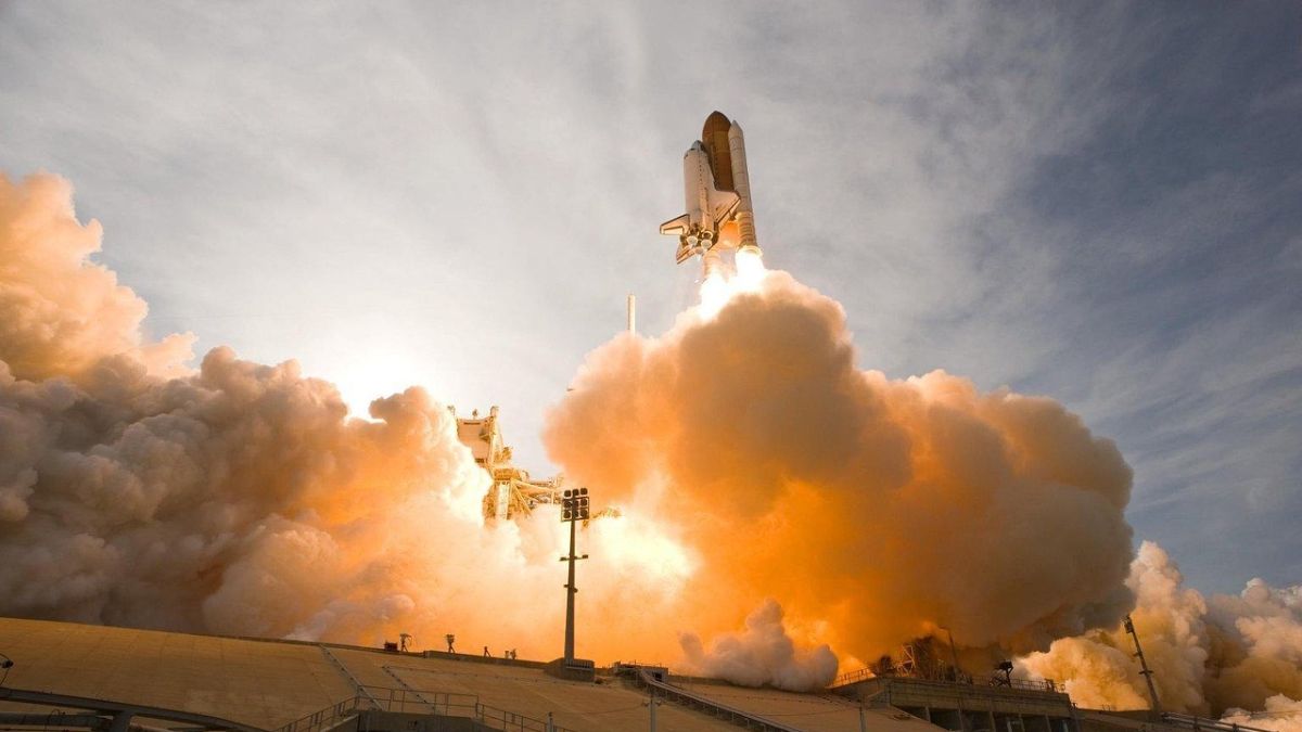
Developed jointly by the space agencies of India and the US, the NASA-ISRO NISAR satellite on Wednesday (July 30) lifted off successfully from the Sathish Dhawan Space Centre in Sriharikota, Andhra Pradesh. Dubbed as the most powerful earth monitoring satellite, NISAR is also being touted as the costliest-ever Earth Observation Satellite.
The NISAR satellite is a key part of India’s ambitious space program, more so because it has been developed in a strategic collaboration with the US. It will be the first satellite to observe the earth with a dual frequency Synthetic Aperture Radar (NASA’s L-band and ISRO’s S-band).
GSLV-F16 rocket carrying ISRO and NASA’s joint satellite NISAR took off from the second launchpad of the SDSC at 5.40 pm, marking this as the 18th flight of India’s Geosynchronous Satellite Launch Vehicle. NISAR Was placed into its intended orbit about 18 minutes after lift-off.
What are the NISAR mission phases?
It has broadly been classified into the Launch phase, Deployment Phase, Commissioning Phase and Science Phase.
Launch Phase – NISAR was launched onboard GSLV-F16 launch vehicle from ISRO’s Satish Dhawan Space Centre (SDSC).
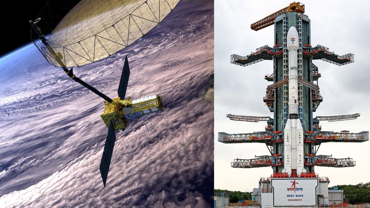
Deployment Phase – NISAR hosts a 12m dia large reflector which shall be deployed in-orbit 9m away from the satellite by a complex multistage deployable boom designed and developed by JPL/NASA.
Commissioning Phase – The first 90 days after launch will be dedicated to commissioning, or In-Orbit Checkout (IOC), the objective of which is to prepare the observatory for science operations.
Science Operations Phase – It starts at the end of commissioning and extends till end of mission life. During this phase, the science orbit will be maintained via regular maneuvers, scheduled to avoid or minimize conflicts with science observations. Extensive calibration and validation (CalVal) activities will take place.
What is the purpose of NISAR mission?
The primary objective of the mission is to study land & ice deformation, land ecosystems, and oceanic regions in areas of common interest to the US and Indian science communities. The NISAR mission will further help in measuring the woody biomass and its changes; track changes in the extent of active crops; understand the changes in wetlands’ extent; map Greenland’s & Antarctica’s ice sheets.
Additionally, NISAR will also characterise land surface deformation related to seismicity, volcanism, landslides, and subsidence & uplift associated with changes in subsurface aquifers, hydrocarbon reservoirs, etc.
What’s so special about NASA-ISRO’s NISAR?
This first-of-its-kind earth observation satellite is unique in the sense that not only is it equipped with new tech, but also carries 2 radar systems, NASA’s L-band and ISRO’s S-band. These help scan changes across land and water on Earth. NISAR satellite features a 12-metre gold mesh antenna, which is one of the largest ever sent into low Earth orbit.
Weighing 2392 kg, the Earth Observation Satellite will keep an eye on the planet with a swath of 242 km and high spatial resolution, using SweepSAR technology for the first time, which will help in getting clear images in all weather.
NISAR is a big thing as the data shared by this satellite would be open to all and help better our disaster response, as it will study sea level rise and monitor earthquakes. It will also track glaciers, floods and landslides caused by climate change.
NASA-ISRO collaborative satellite NISAR has been developed at a cost of over $1 billion, making it the world’s most expensive Earth Observation Satellite. The life of the NISAR Mission is 5 years.